Over the past decade Kaart has developed the experience, talent, expertise and workflows to bring you the most detailed and current global geographic data. Our map contributions continue to power the worlds most advanced navigation devices. We are committed to designing and developing simple geographic solutions for you and the world.

For over a decade, Kaart has provided GIS expertise and documentation to become one of the leaders in capturing, editing, and analyzing GIS data all over the world. Kaart provides exceptional GIS analysis, product development, and field collection services. We work with each of our clients to understand their background and the hurdles that each project presents. We ensure that our solutions through GIS exceed our client's expectations while guiding them from concept design to final product delivery.

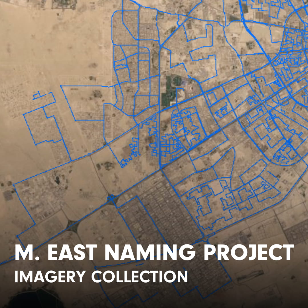
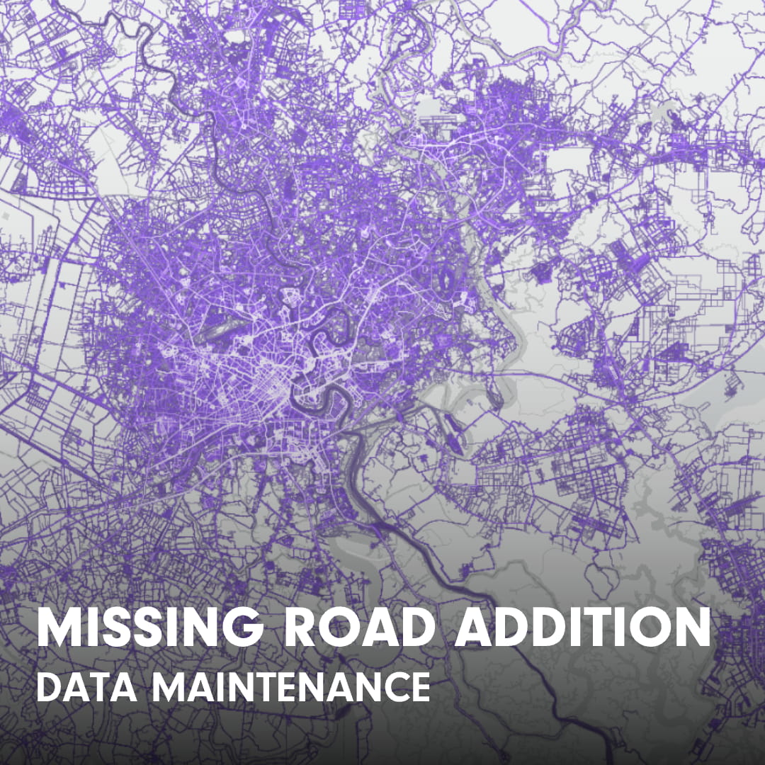
Kaart is a major contributor to OpenStreetMap (OSM). Our GIS professionals continuously improve OSM data to enable accurate vehicle navigation, train machine learning algorithms, and to represent communities no matter their location around the world. Kaart has staff in Colorado, California, Washington, Argentina, Brazil, Chile, Colombia, Guatemala, Indonesia, Malaysia, Mexico, Philippines and Romania.

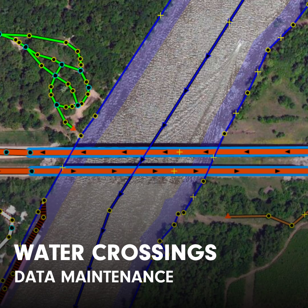
Kaart has traveled to collect street level imagery in some of the most remote regions of the world. Imagery is captured with GPS-enabled cameras in order to generate new data and detect changes in data to fix road geometry, update construction activity, and add traffic lanes, turn restrictions, and other tags necessary to improve vehicle navigation. Kaart provides imagery to the open source community using applications such as Mapillary.