About Kaart
Kaart pairs deep field collection expertise with AI-assisted workflows to produce geographic data that humans can trust. Our global teams collect ground-truthed imagery at street level, feed it into machine learning pipelines, and contribute the results to OpenStreetMap and other platforms — closing the loop between real-world conditions and the data that the world depends on.
Learn More
GIS
Kaart's GIS practice covers the full data lifecycle — field collection, editing, quality assurance, and spatial analysis — across a global footprint. Our data feeds navigation systems, powers AI training pipelines, and supports enterprise mapping platforms, backed by more than a decade of on-the-ground expertise.
Explore GIS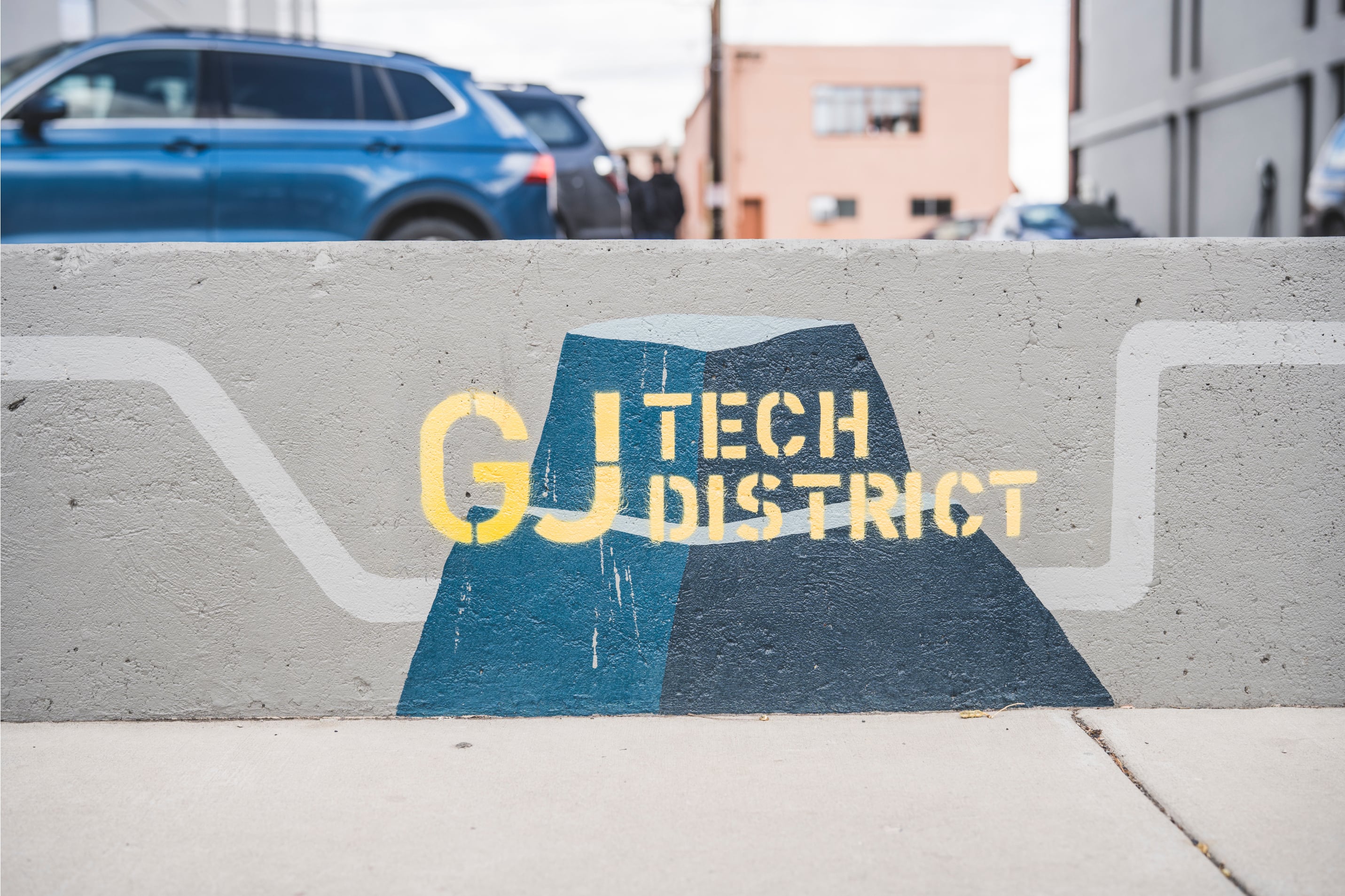
Development
Kaart is leading the redevelopment of western Colorado through projects that are ambitious, creative, and sustainable. With the Grand Junction Tech District growing in infrastructure, resident companies, and the upliftment of the base area at Powderhorn Ski Resort, Kaart is setting a new standard for economic vitality in the region.
Explore Our Projects
Software
Kaart builds purpose-built geospatial software — mobile apps for field collection, web viewers for street-level imagery analysis, and processing pipelines that transform raw collection into clean, production-ready data. Every tool ships with one requirement: that it handles the specific, unforgiving demands of geographic data at global scale.
Explore Our Tools