


Everything You Need, Nothing You Don't
Built-In Privacy
Automatically blur faces and license plates on upload. Your imagery stays private, on your terms.
Every Imagery Type
Street-level, drone, and 360° — all in one place, exactly as captured.
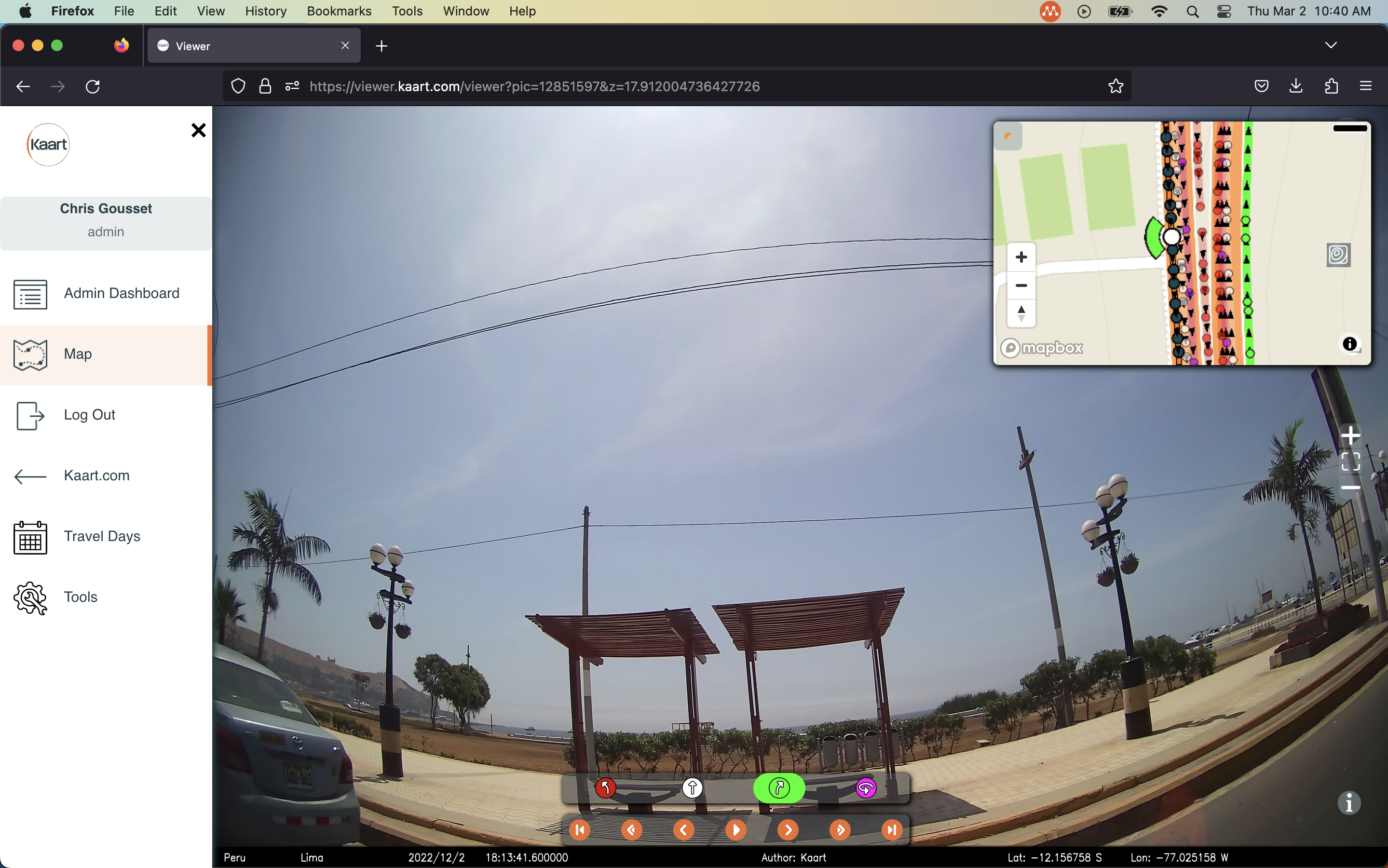
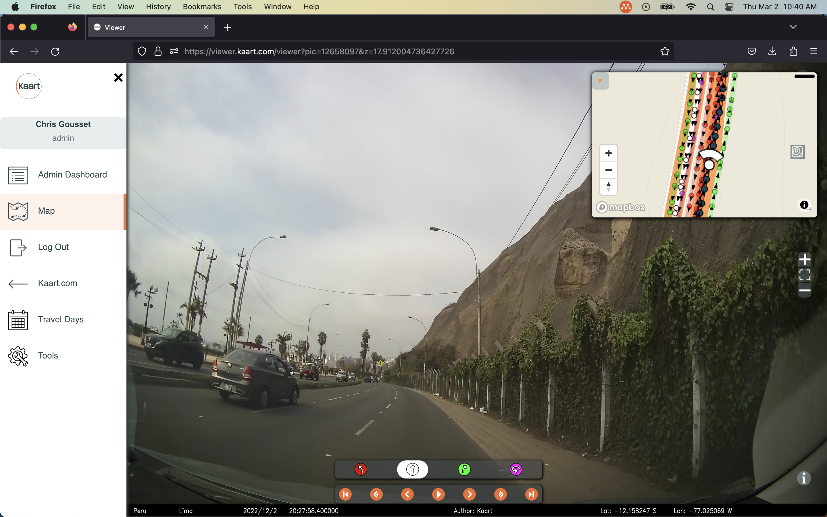
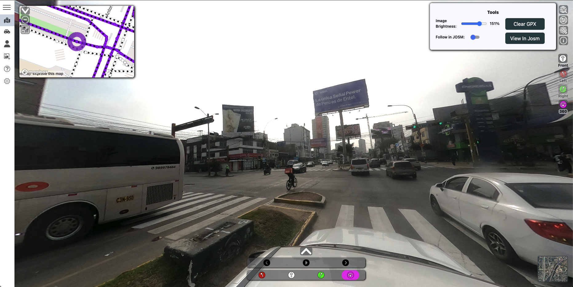
Map Data at a Glance
Imagery and map data side by side — no switching tools, no lost context.
Full Resolution, Always
Zero compression means every pixel of your imagery is preserved exactly as shot.
JOSM Integration
Follow your imagery tracks directly in JOSM for faster, more accurate OpenStreetMap editing.
Team & Project Management
Organize projects, manage team access, and keep your organization's imagery in order.