Feature Overview
Privacy
No object detection, face blurring, or license plate
blurring done on our end. Keeping your data in your
hands
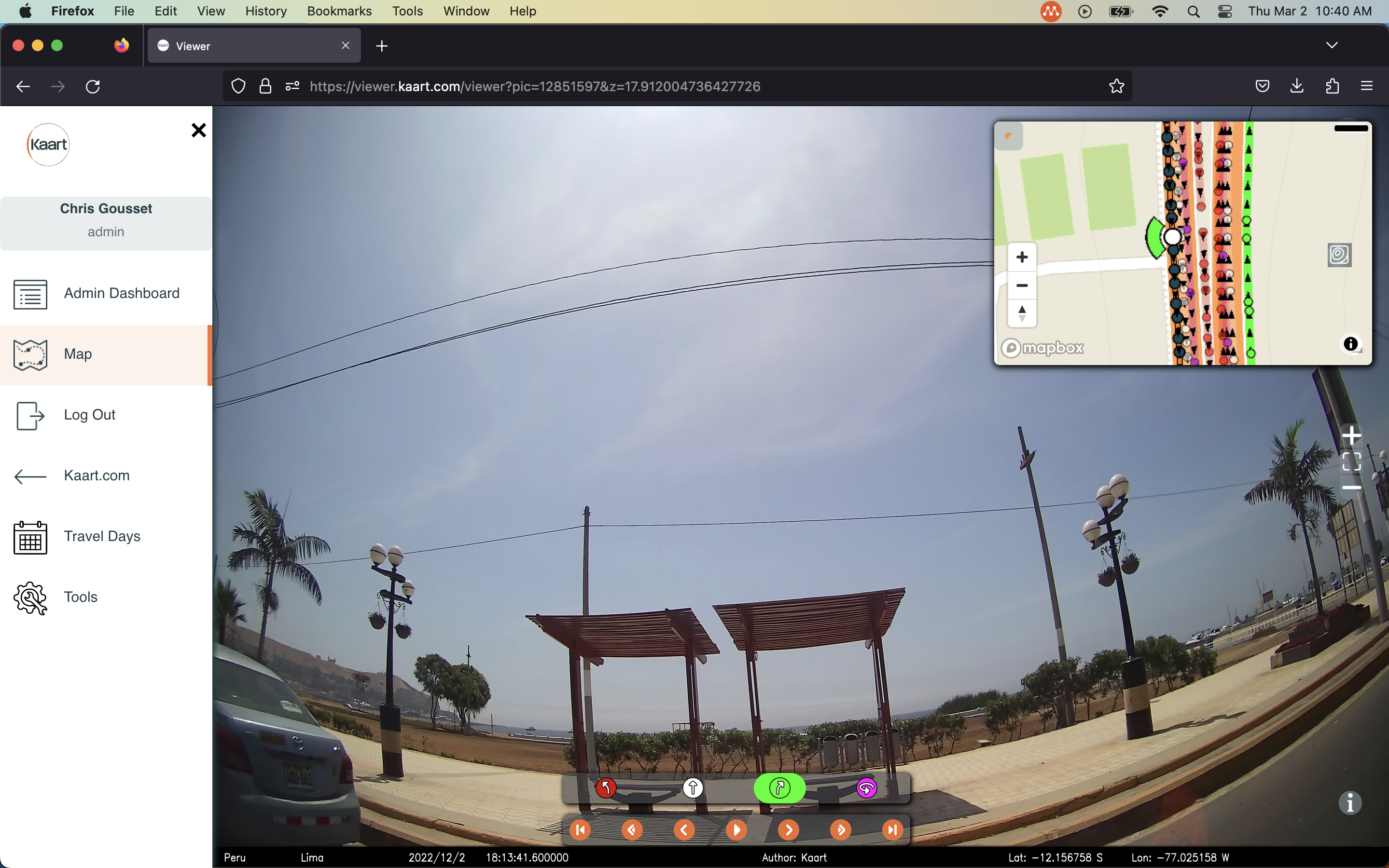
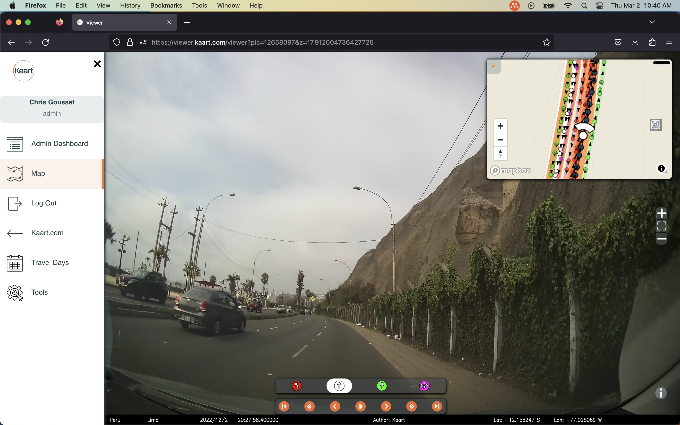
Different Imagery Types
Supports 360, street view and drone imagery
Data Access
Easily access imagery and map data all in one spot
File Storage Integration
Support for Amazon S3 with Dropbox integration comming
soon